Rising seas are washing away two US towns. How they’re responding is a matter of faith, belief and money.
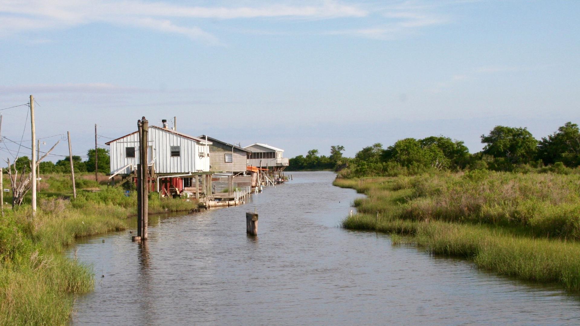
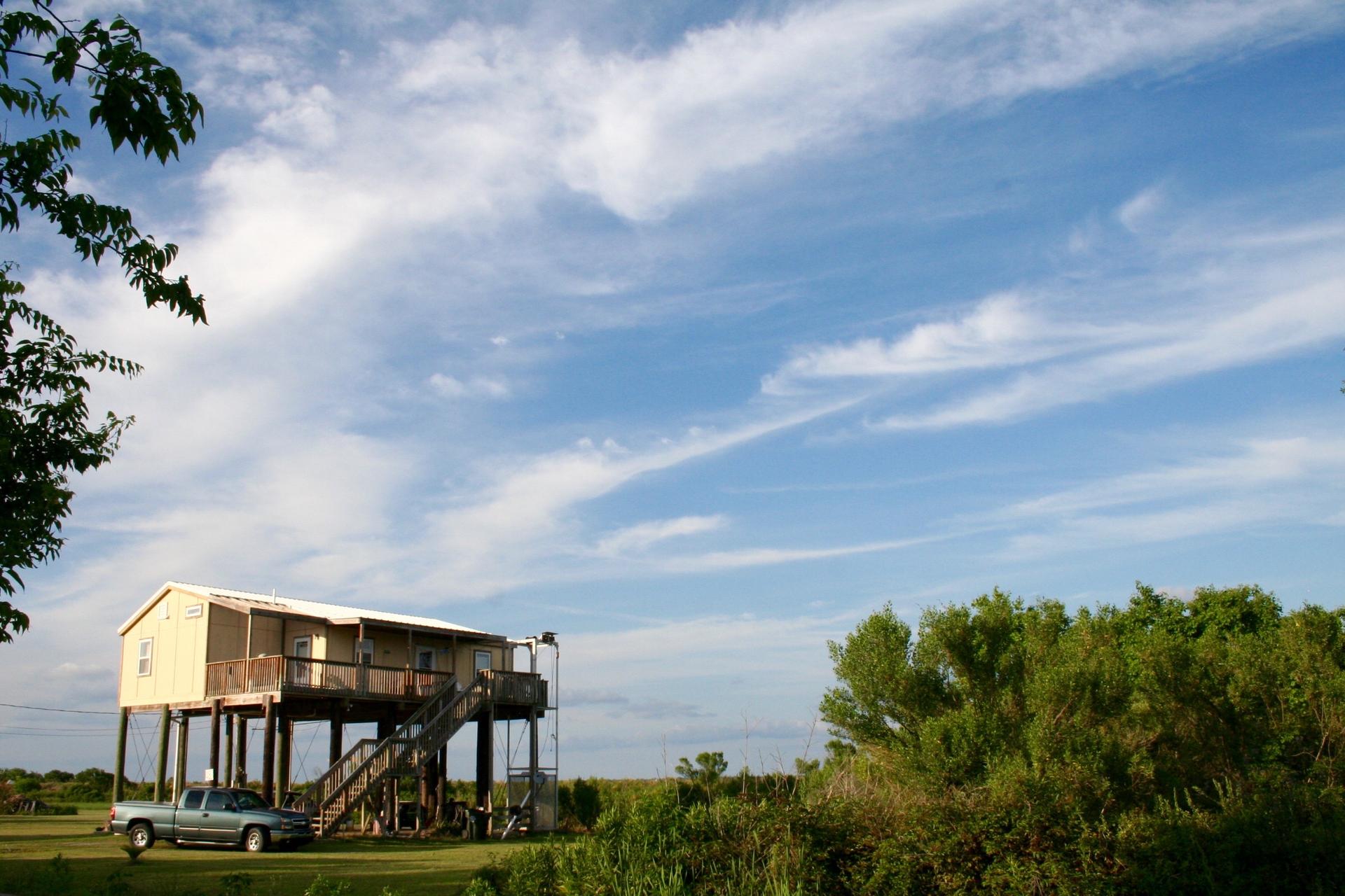
Louisiana's Isle de Jean Charles, the first community in the nation to receive federal funds to relocate due to climate change. Homes here are elevated to protect from flooding. Gas service has been disconnected, and residents worry that the next big storm could wipe out phone and water service too.
To stay or to go. It’s a wrenching question low-lying coastal communities around the world are beginning to reckon with as climate change starts to push up global sea levels.
But it’s not just happening in far-away places like Bangladesh or the Maldives. It’s happening right here in the US.
On Tangier Island, Virginia, in the southern Chesapeake Bay, residents are facing the inundation of a place some local families have called home since the 1600s.
They are determined to stay.
On Isle de Jean Charles on the Louisiana Gulf coast, a disappearing Native American community has made the opposite decision. They are the first community to receive federal money to relocate due to climate change.
It’s a tale of two towns, confronting a decision no community would ever want to make, but that more and more will have to.
A place stuck in time
Tangier, in the broad open water of the Chesapeake about halfway between Washington and Norfolk, is reachable only by boat, and its isolation makes for a very tight-knit community.
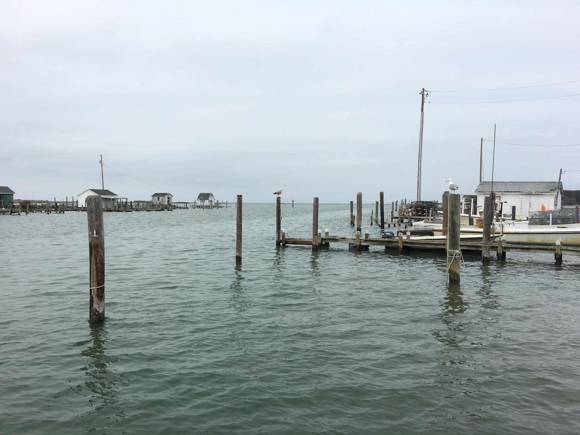
“I like the family,” said Tangier resident Teresa Vermeal Tyler. “The people, they grew up with each other, so it’s not just that they’re each other’s neighbors, they’re family. … You can’t beat it when it comes to raising kids,”
Like most of its roughly 450 residents, Tyler uses a golf cart instead of a car to get around Tangier. She waves or nods at neighbors as she navigates gravel roads lined with white picket fences.
Many of the island’s men make a living catching crabs and oysters on the water beyond, long a key part of the Tangier identity.
“We’ve been working the waters for a couple hundred years now,” said James “Ooker” Eskridge, Tangier’s mayor and a waterman himself.
But the relationship with the water is becoming more fraught.
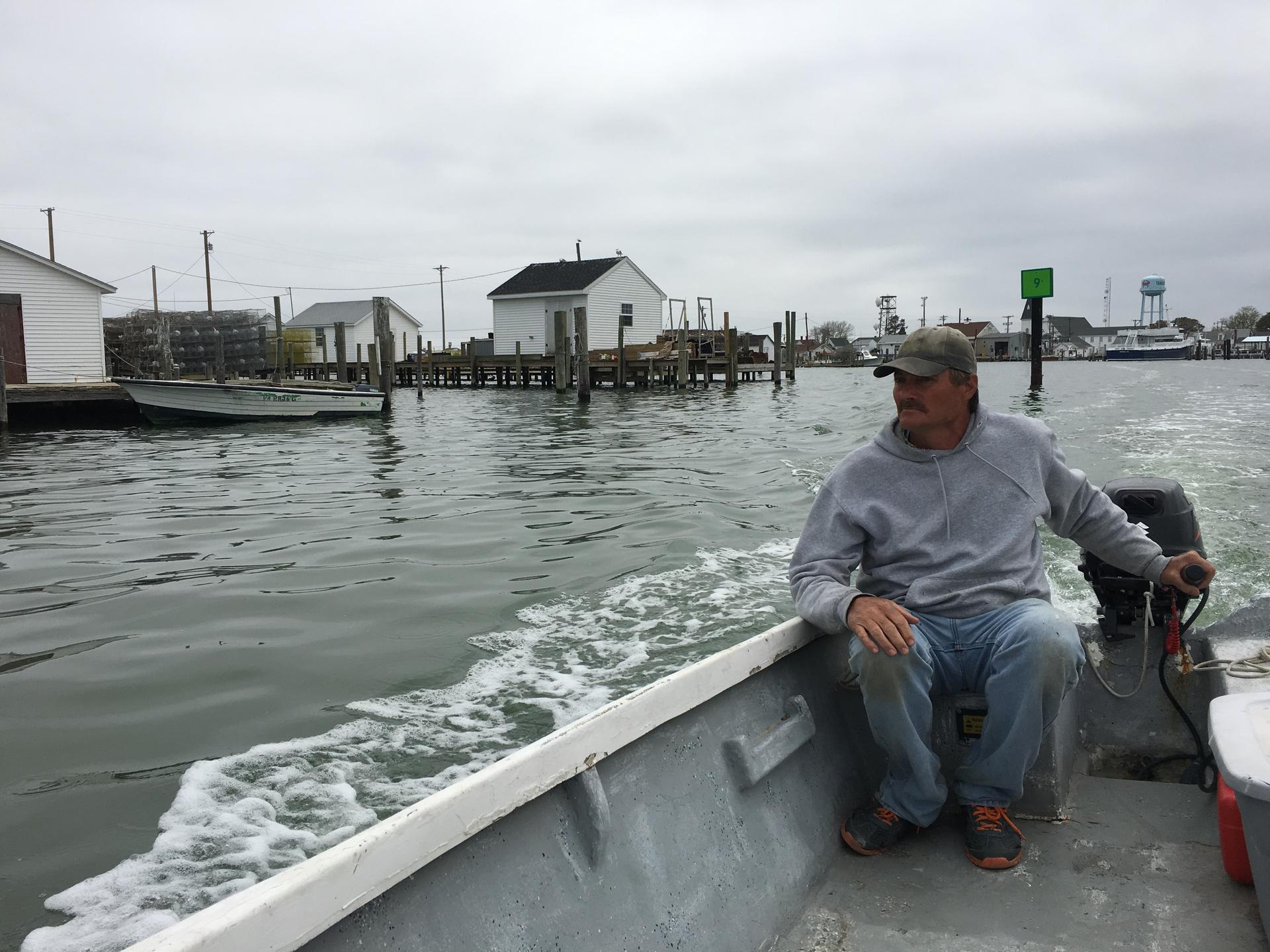
“The Chesapeake Bay, [which] has been providing the resource for a living on the island, is now threatening the island,” Eskridge said.
Rising seas, sinking land
Threatening is an understatement. The average elevation on Tangier is only about three-and-a-half feet above sea level, and the bay is slowly but steadily washing the island away. Today, it’s only about a third of the size it was in the 1850s.
It’s a complex problem. Climate change is pushing sea levels up around the world, but the waters of the Atlantic along this part of eastern North America are rising faster than the global average due to changes in the Gulf Stream. Meanwhile, the land in the southern Chesapeake Bay has been slowly sinking for thousands of years.
The combination of rising water and sinking land has added up to more than an inch and a half of relative sea level rise per decade since the mid-20th century. And it’s speeding up. By 2100, the Army Corps of Engineers projects the water surrounding Tangier Island will rise as much as six feet more, leaving all but the highest points of the island underwater.
But the ghosts of lost land are already visible here.
Out on the water on a drizzly afternoon, Eskridge stopped his crab boat about 100 yards offshore, over a spot where there used to be a town.
“They had a small school house and a small store up here,” Eskridge said, gesturing out to the open water. “All of it’s underwater now.”
The last families evacuated this part of the island in the early 1900s. But residents left the graves of some of their ancestors behind. Two tombstones stand on the marshy shore of the island, just a few feet away from the lapping waves.
Eskridge recovered the bones of one of his ancestors before they could be swept into the bay, and re-buried them on high ground in the middle of town.
“[It’s] very discouraging when you look at it,” Eskridge said. “Where we are now on Tangier, we don’t have another island to jump to, so we’ve got to protect the one we’re on.”
Dozens of inhabited islands in the Chesapeake Bay have washed away since Europeans first settled the region in the 1600s. The residents of Tangier know history stands against them. But they are firm in their resolve.
“We want help, we don’t want to leave,” said Tyler. “This is a family and we don’t want to leave each other.”
Faith vs. science
The reasons Tangier’s residents are dead-set on staying are a complex web of faith, politics and tradition. It’s a very conservative community, and many residents say they will live on Tangier as long as God wants them to.
“It’s all on His timetable,” said resident George Cannon, when asked how long he thought Tangier would be around.
Meanwhile, most don’t accept the science of man-made climate change, that pollution is causing global temperatures and sea levels to rise.
What’s causing the rapid retreat of their shoreline, they say, is simple erosion.
“We don’t have no marshes to absorb the water anymore,” said longtime Tangier resident Lonnie Miller. He can’t see the overall level or the water rising, but he can see waves eating away at the edges of the island.
“So are we going to get more street tides, tides on the street?” Miller asked “Yes. But is it global warming? No.”
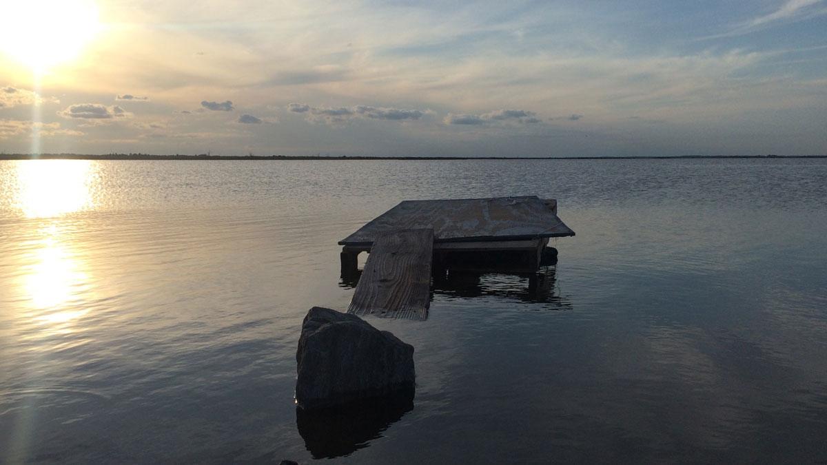
Same challenge, different decision
More than a thousand miles southwest of Tangier, a similar combination of rising water and sinking land is buffeting another community with long ties to their patch of earth.
“Where I was born at and raised at, you can’t walk there anymore,” said Albert Naquin, chief of the Biloxi-Chitimacha-Choctaw tribe, which has called Louisiana’s Isle de Jean Charles southwest of New Orleans home for 200 years.
“You sink up to your knees if you walk there because it’s so saturated with water.”
Like on Tangier Island, the changes here are complex. There’s climate change and global sea level rise, but there’s also subsidence. Dams on the Mississippi River have bottled up silt that used to replenish the land here. Oil and gas canals have cut up the marshes. Both lead to even more erosion. The US Geological Survey estimates southeastern Louisiana has lost more than 16 square miles of land a year for a quarter-century.
The combination of these forces resonates in the very name of Isle de Jean Charles. When the Biloxi-Chitimacha-Choctaw tribe arrived 200 years ago, it wasn’t actually an island. It was a peninsula. Today It’s a narrow strip of 320 acres, just two percent of its surveyed size 60 years ago.
Like the residents of Tangier, Chief Naquin didn’t believe in human-caused climate change, even after hurricanes Katrina and Rita in 2005. But he’s changed his mind. Now he believes climate change is happening because, he said, he sees it.
“Something is happening” he now says.
What’s happening becomes palpable along a skinny hockey stick of road, the only thing that connects Isle de Jean Charles to the rest of Terrebonne Parish.
It’s called Island Road, and water splashes over it at high tide. In big storms, the water stops the school bus and the postman. Not long ago, it stopped Chantel Comardelle.
“We tried just last week to get down here. We could not,” she said recently. Now 34, Comardelle grew up on the Isle but doesn’t live here anymore.
“My dad turned his truck around, because there were waves crashing on [the road],” she said.
“It’s here, it’s now. It’s a safety issue. It’s happening.”
Island Road was rebuilt in 2011, higher and wider, at a cost of more than $6 million. But storms have flooded it several times already this year.
Loss of services and protection driving away a community
Others in Comardelle’s family feel the risk too.
A few months ago Comardelle’s nearly 90-year-old grandfather Wenceslas Billiot fell ill, and the ambulance couldn’t get to his house. Billiot’s house is raised 14 feet above the soggy land to protect it. And until recently, he was intent on staying forever.
Now he’s not so sure.
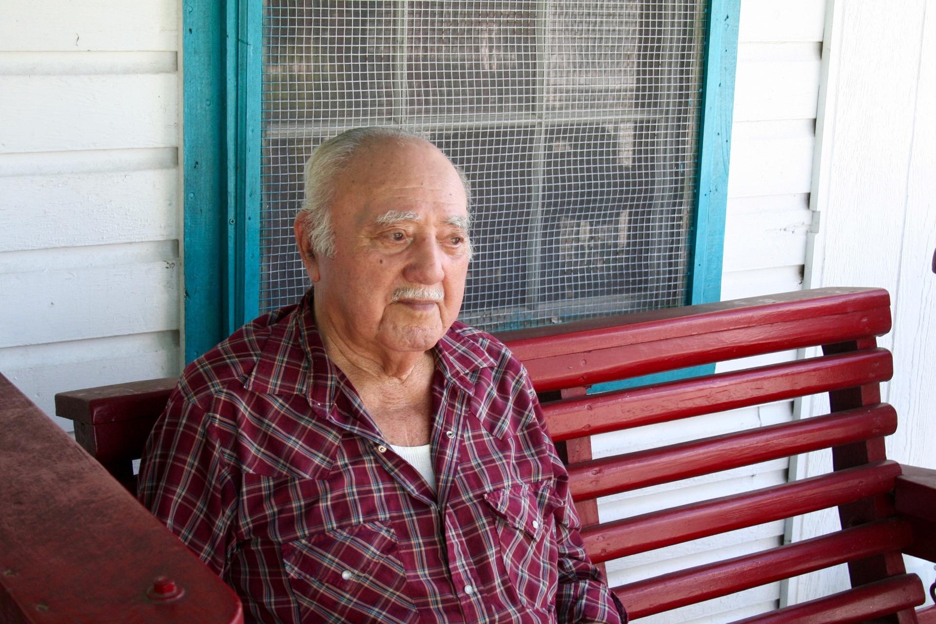
“I don’t know how long the people gonna stay over here. I really don’t know,” he said. “Everything been going, I mean, fast. Go faster and faster.”
With the eroding wetlands less able to buffer wind and water, storms hit the land that’s left harder now, and they’re harder to recover from.
Still, none of the dangers make it any easier to move upland and inland. Wen’s grandson Kyle Billiot remembers how it was in 1985, when his family moved inland after back-to-back hurricanes. He was 9.
“It was hard for me, leaving this place,” Kyle Billiot said. “I don’t know if it was just because of family, but you was always in nature. We swam. Every day we played hide and seek in the woods right there, we always had something to do.”
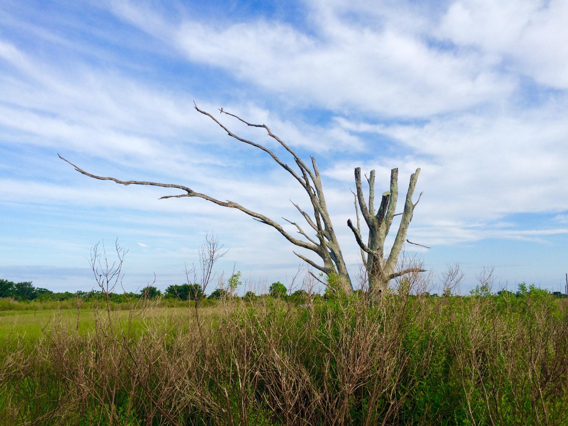
Kyle Billiot is 40 now, and the woods he played in have disappeared, as have the island’s basic services.
Gas to the island has been disconnected. A big storm could also end phone and water service. If the road washes out, the Federal Emergency Management Agency says it won’t be replaced. And Louisiana’s $10 billion Coastal Master Plan leaves out the Isle de Jean Charles and a few other communities.
“They can’t save the island,” Kyle Billiot said. “Not that it’s a bad place to live, it’s just the things you’d have to deal with living down here.”
Federal aid to move but an uncertain timeline
With problems accumulating as fast as their land was disappearing, the Biloxi-Chitimacha-Choctaw tribe finally took the chance to apply for a special federal grant to help threatened coastal communities. And earlier this year the federal Department of Housing and Urban Development awarded the Isle de Jean Charles community $48 million to move inland. It’s the first federal tax money ever earmarked specifically to move a whole community due to climate change.
The timeline for the move is still unclear, as is the tribe’s destination. And some tribal members, including some in the Billiot family, are skeptical the plan will ever actually come together.
But the HUD award is nourishing the hope that even as their home disappears, the tribe can stick together.
“We need to find something that really works and do it, and not just put Band-Aids here and there,” said Chantel Comardelle. “We’re going to try and do whatever we can to save our people.”
In Tangier, no concrete plan for the future
The residents of Tangier Island feel just the same, but imagine a very different path forward.
It starts with a stone jetty to protect part of Tangier’s harbor, which the Army Corps of Engineers agreed to build in 2018 after years of lobbying by residents and their allies.
But that won’t protect the whole island. Residents want a seawall built around all of Tangier, like one that now protects the island’s airstrip and sewage system.
An Army Corps marine biologist has also sketched out an even more ambitious $20 to 30 million plan to build offshore breakwaters and dunes, fill in marshy parts of the island with dredged sand and plant trees on the new land.
As of now, this plan is merely hypothetical. No one is talking about financing the project. And without this kind of elaborate engineered solution, the corps says the town likely will need to be abandoned within 25 to 50 years.
But even with it, the Corps says life in Tangier’s main village might only be extended by about 50 years.
Which raises the question, what’s it worth to extend the life of a disappearing community? And who would pay for it?
Despite the Louisiana grant, there’s still no federal plan for saving low-lying communities, no uniform way to decide which to protect and which to abandon.
But Biloxi-Chitimacha-Choctaw Chief Albert hopes the process of his tribe’s relocation might serve as a starting point. His community has already shared its experience with folks from threatened parts of Alaska, as well as coastal communities overseas in Indonesia and the Marshall Islands.
“[Our] island is a cancer,” Chief Albert said, “it’s being eaten away. … But we are the doctors! I want to show them how it’s done.”
Read or hear the whole series: Living with Rising Seas
