Here’s why Hurricane Sandy is such a monster storm
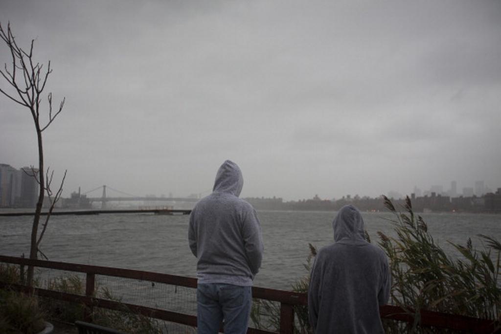
Onlookers watch as the storm gathers over Manhattan in New York, U.S., on Monday, Oct. 29, 2012. Hurricane Sandy strengthened on its path toward New Jersey, where it is predicted to make landfall today while bringing a life-threatening storm surge as it whips a region of 60 million people with high winds and rain.
1. A northbound hurricane
Hurricane Sandy is moving very slowly toward the north-northeast and is expected to continue its current path parallel to the Carolinas over the weekend, forecasters say. At some point, it's expected to become what's known as an extratropical storm. Unlike a tropical system like a hurricane, which gets its power from warm ocean waters, extratropical systems are driven by temperature contrasts in the atmosphere. At some point, probably Monday, Sandy will begin to turn back toward the coast and eventually make landfall over Delaware or New Jersey.
Although Sandy is currently a hurricane, it's important not to focus too much on its official category or its precise path. It's a massive system that will affect a huge swath of the East Coast, regardless of exactly where it hits or its precise wind speed.
2. Early winter storm
Sandy is expected to merge with a wintry system from the west, at which point it will become the powerful superstorm that has forecasters and officials all along the Eastern Seaboard on edge. One of the other systems is an early winter storm from the west — the product of a low pressure system. Winds from that system will pull Sandy back toward the U.S. mainland.
3. Arctic air from the North
Frigid air coming south from Canada also is expected to collide with Sandy and the wintry storm from the west, creating a megastorm that is expected to park over the northeast for days. Forecasters are expecting residents from Florida to North Carolina to feel the peripheral effects. But the brunt of the storm will hit states farther north once Sandy collides with the winter storm and frigid air. Officials are bracing for the worst: nearly a foot of rain, high winds and up to 2 feet of snow.
4. High tides could worsen flooding
Further complicating matters is the possibility for dangerous storm surges: A full moon means the tides will be higher than usual, which will make it easier for the storm's powerful winds to push water into low-lying areas. That, coupled with the threat of several inches of rain, has officials working to shore up flood defenses.
5. Combo of snow, wind increases risk for widespread power outages
Storms in recent years have left hundreds of thousands of people along the East Coast without power, sometimes for days at a time. Utilities have been bringing in extra crews and lining up tree trimmers so they're prepared, and with good reason. The superstorm brings two possibilities for knocking out electricity. For one, hurricane-force winds of at 74 mph could send tree branches into power lines, or even topple entire trees and power poles. Those left standing could succumb to snow, which could weigh down still-leafy branches enough to also topple trees.
More from our partner, CNBC:
CNBC: Frankenstorm poses "worst case scenario"
CNBC: Hurricane forces Obama to balance governing, campaigning
CNBC: October surprise: Americans feeling better about economy
CNBC: Greek banks to be recapitalized partly via shares
CNBC: Spain, Italy reject bailout calls as political risks rise
The story you just read is accessible and free to all because thousands of listeners and readers contribute to our nonprofit newsroom. We go deep to bring you the human-centered international reporting that you know you can trust. To do this work and to do it well, we rely on the support of our listeners. If you appreciated our coverage this year, if there was a story that made you pause or a song that moved you, would you consider making a gift to sustain our work through 2024 and beyond?
