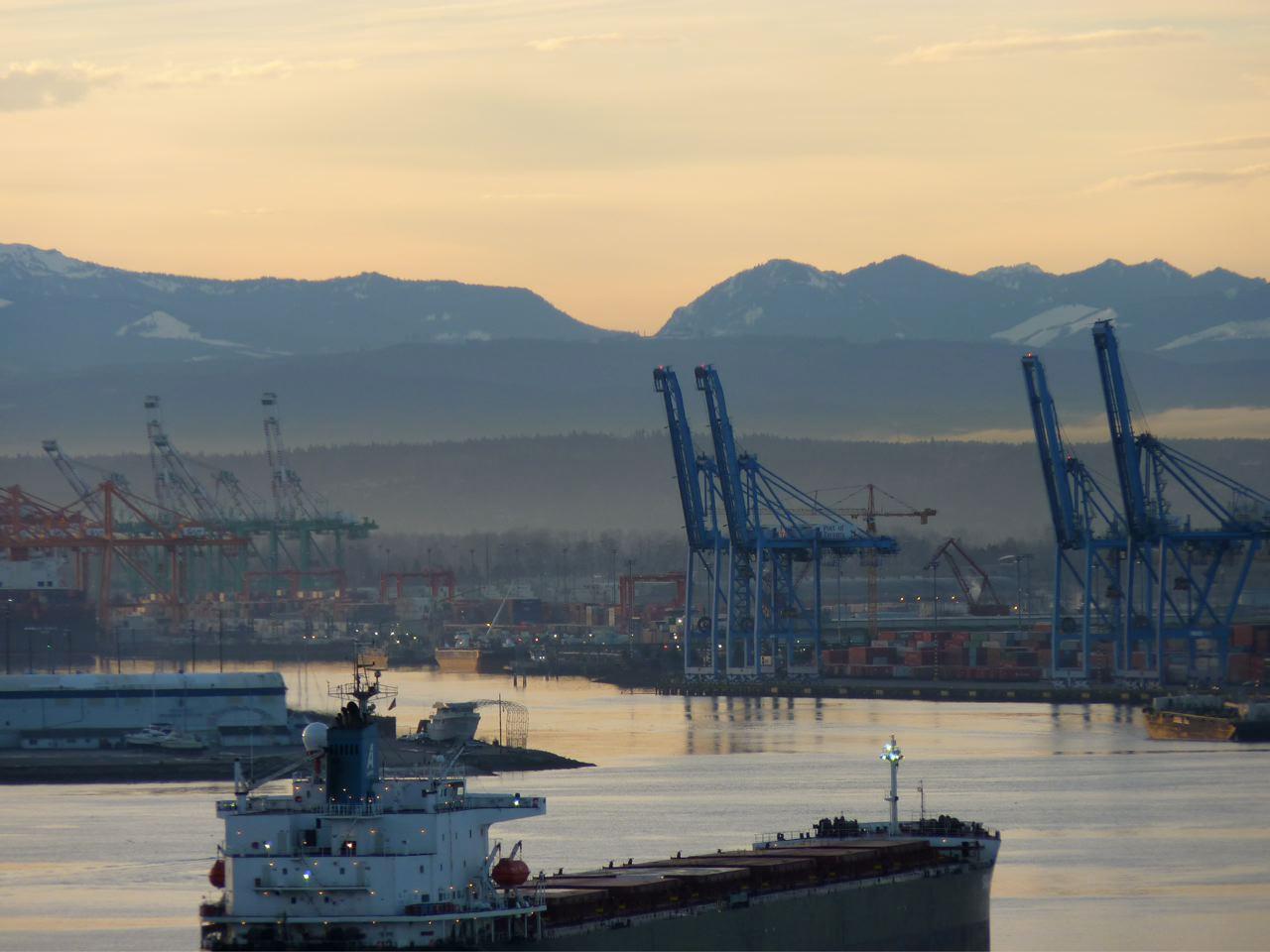
The Vancover Notch as seen from Commencement Bay in Tacoma, Washington.
Mount Rainier is a grand, imposing, majestic site to see while sitting in traffic on I-5 near Tacoma. So much so, that the tiny little divot in the foothills just to its south seems unremarkable. Until you hear what Barbara Reid has to say about it.
Reid is an adventurer with a love of the water. She grew up deep-sea fishing with her family and learned to sail while stationed in Vietnam in the army. She lived on her boat in Hawaii for a while and then sailed for three weeks to move to the Northwest.
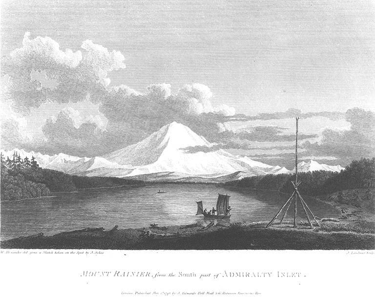
There, Reid started to read the journals’ of the early explorers of the West to learn about the area. She read the journals of Captain George Vancouver’s four-year expedition around the Pacific in 1792. And one particular entry stuck out to her.
On Saturday May 26, 1792, Vancouver wrote about something he saw from his ship, something Reid had never noticed. The “appearance of a very abrupt division in the snowy range of mountains immediately to the south of Mount Rainier…”

Reid had looked at Mount Rainier from her own boat many times, but had never seen an “abrupt division.” So she got in her boat and sailed out into the bay near Tacoma to look for it. And sure enough, in the foothills just south of Mount Rainier, she saw it. But that wasn’t the end for her.
“I’ve seen it all along but I’ve never questioned it, but now I’m going to question it. Like what is that river that flows through there? So I went on Google Earth and start running up the river and seeing what it is.”
Reid deduced that the spot is where the Puyallup River meets the Mowich River.
And for three years, she obsessed with getting there.
She tried to drive to it, but all the roads were gated off logging roads. She tried to get a pilot to fly her over it, but no luck. She couldn’t boat there because dams and shallow waters would block her way. She could only see it in the distance beside Mount Rainier. But she had an idea.
“I thought that it was appropriate that we name it Vancouver becaue it’s v-shaped, in honor of him. He named all of these things for the British, but he never named anything for himself."
Reid applied to Washington's Committee on Geographic Names to name the divot “Vancouver’s Notch." She learned there are rules when it comes to naming places. Like the name can’t be too long. It has to use the Roman alphabet, and only in rare cases may it contain diacritical marks. In order for a stream to be named, water has to run at least nine months out of year. And, you can’t name a feature in a wilderness area because that would make it less wild. Also, possessives aren’t allowed — so Reid ultimately went with Vancouver Notch, and not Vancouver’s Notch.
And eventually, after many dead ends, a forester who works on nearby land offered to take her to the spot that forms the notch. They drove for miles on gravel forest roads, running up and down mountain switchbacks and through locked gates. And then when they dropped into an open valley where two rivers appeared, Reid got to see the site she’d only been able to imagine.
“Oh my gosh, you know, this is it. It was just like I can’t believe that we’re here.”
When people wonder why an archaic explorer who is already the namesake for at least two cities, two mountains, a bay, an island, and a peninsula should have another place added to the list, Reid’s answer is simple.
“A lot of people would say everything’s been named Vancouver. Why bother? Well, if you don’t bother, nothing ever gets done, nothing ever gets accomplished.”
In fact, the geographic names alone on this one spot on the map reveal many layers of Washington state history. The notch is located at two joining rivers, the Puyallup and the Mowitch, named for local native tribes. The land is controlled by Hancock Forest Management, a logging company with roots to Boston investors. And now it could be named for the white guy who gets credit for first exploring the area.
No name stands alone. They tell stories about where we live and who we are.
Reid's proposal was approved in December. It will be on all new Washington state maps. And if it passes national review, it will be put on all national maps.
But it’s already on Google Maps, so for all intents and purposes, Vancouver Notch is official.

With support from the National Endowment for the Humanities
