Want to know if the mall is crowded? That’s just one of the promises of future maps
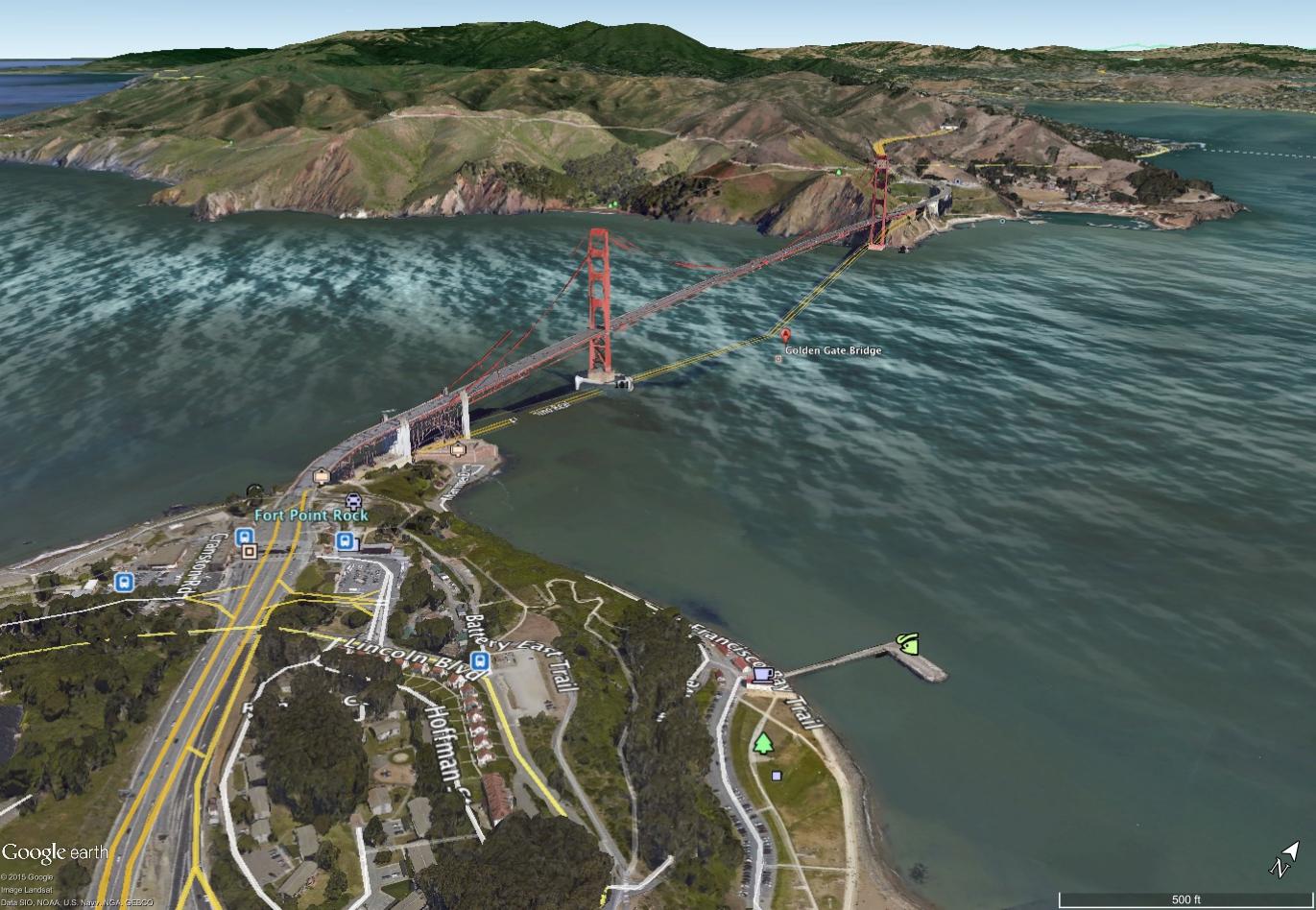
A Google Maps image of the Golden Gate Bridge in San Franciso.
Do you remember how you got around before there was Google Maps? Did you rely on printouts from MapQuest? Maybe you were still using free printed maps from AAA?
February marks the 10-year anniversary of Google Maps. In that time, digital maps have become ubiquitous, and we use them for more than just getting from point A to point B. Waze gives us real-time traffic information; Parknav and Scout help us find open parking spaces in tight cities. So what will maps look like in the next decade, and what will they do to get us around more efficiently?
Much of today’s mapping effort is focused on constantly improving the quality of map resolution and location data. Higher-resolution maps mean more detail, and better location data means more accuracy — both of which will be highly important for how we may navigate through cities in the future.
Google's Project Ground Truth started in 2008 as its effort to keep Google Maps as up to date and accurate as possible. Google develops a lot of its mapping data by having computers scan imagery, but those maps, which come from official government sources, don’t necessarily line up with the street features you see when you're driving around. “The algorithms are good and they're getting better, but they only get you so far,” says Greg Miller, co-founder of Wired Magazine’s Map Lab blog.
To narrow that disparity, Project Ground Truth uses human eyes to rectify the aerial and street imagery to the actual ground locations. “Google has a small army of people — they wouldn't tell me exactly how many, but my sense is that it's lots — who are going over the maps and checking up on the algorithms to make sure that where the road gets placed is actually where the road is on the satellite image,” Miller says.
That's in addition to the error reports Google gets from people actually using the maps. “They get and review tens of thousands of those error reports every day," Miller says. "That kind of gives you an idea of the sort of manpower that must be involved to sustain that.”

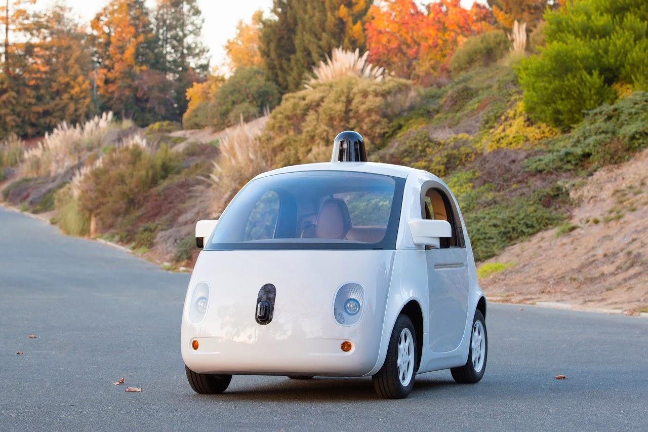
It’s no secret that Google has been working on autonomous vehicles, and they're far from alone. Numerous manufacturers, even possibly Apple, are said to be developing self-driving cars, all of which will need accurate and up-to-date maps to navigate safely.
“It's a little exciting or scary, depending on your perspective, but yeah, that does seem to be the way that things are going,” Miller says. “If we're ever going to get to a world where we can get into our car and make a sandwich during our commute to work, we're going to need maps that are a lot higher-definition even than the best maps we have today for turn-by-turn directions.”
Miller recently was able to get a close-up view of a car Nokia uses to capture street-view data for the navigation feature built into some cars. Nokia equipped its car — “just a regular old Volkswagen Jetta,” Miller says — with GPS and LIDAR, which uses lasers to measure the shape and distance of road features and surroundings. That includes things like the height of a curb, accurate to the centimeter.
But one area where mapping technology is still trying to break new ground is the indoors. GPS is unreliable indoors because the satellite signals have trouble penetrating buildings. Getting a fix on your location inside a shopping mall or a museum usually requires the use of additional hardware, such as a Bluetooth or WiFi beacons.
But just knowing your geographic location inside a shopping mall is of little use if you don’t have a map to help you along. That's where open source, user-provided data becomes helpful. OpenStreetMap is one such effort. Based in Denver, OpenStreetMap is to maps as Wikipedia is to reference books. It gives the users access to the data behind the map and allows them to edit or add information. Since its creation in 2004, it has been improved by more than 2 million contributors.
Steve Coast, OpenStreetMap's founder, admits the site may lack in some areas of harder-to-collect data, such as addressing, but says it's still competitive with other mapping systems. “I think you'll be surprised," he says. "It's exceptionally, exceptionally complete in its breadth and depth.”
The effort to map indoor locations is relatively new, and most places remain uncharted; OpenStreetMap is dependent on publicly available or contributed data. But "when we have good indoor maps, it means that all kinds of possibilities are going to open up again,” Coast says. “Right now I might be able to just meet you at the mall, but getting real-time navigation as a pedestrian inside the mall to find exactly where you are is going to change things."
This story is based on an interview from PRI's Science Friday with Ira Flatow
