Sudan satellite images
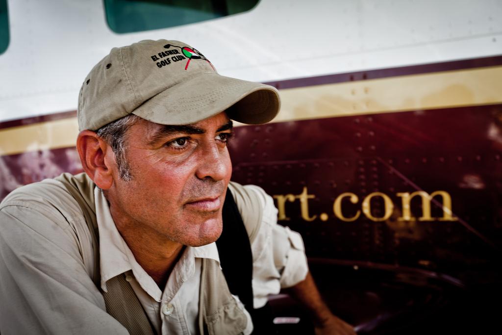
George Clooney in South Sudan in October 2010.
George Clooney's peacekeeping effort in Sudan, the Satellite Sentinel Project, is monitoring the volatile border between North and South Sudan.
These satellite images released by the project show the village of Maker Abior in the Abyei region of Sudan were taken by DigitalGlobe on March 3, 2011, and analyzed for the Satellite Sentinel Project by DigitalGlobe, Harvard Humanitarian Initiative and UNITAR/UNOSAT.
The images were shot in false infrared to give more contrast to the burned structures. Approximately 20 out of an apparent 24 civilian structures, consistent with Sudan's traditional civilian dwellings known as tukuls, appear to be burned. The absence of scorched ground vegetation or trees is indicative of apparent arson, and is consistent with reports stating that the village was burned by armed Misseriya militia on March 2.