NASA makes error the size of Everest
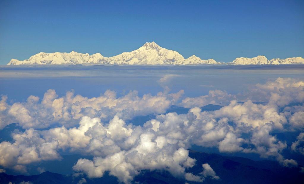
The real Mt Everest.
As mistakes go, it was a big one.
NASA admitted today that it had mistaken a summit in India for Mount Everest, which sits on the China-Nepal border, the Agence France-Presse reported.
The US space agency initially said a photo taken by Russian cosmonaut Yuri Malenchenko from the International Space State was the world’s tallest peak.
Except it wasn’t Everest.
It was Saser Muztagh in the Karakoram Range of the Kashmir region of India, the BBC reported.
Nepalese Himalayas expert and journalist Kunda Dixit spotted the error after the photo spread via Twitter and was picked up by global media outlets.
But his initial guess was wrong too.
This is the photo taken by Malenchenko.

In Malenchenko's defence, spotting Mt Everest – which is 8,848 metres (29,028 feet) high – when you are 370 kilometers above Earth is not easy.
Astronaut Ron Garan, who lived on the International Space Station last year, told The Atlantic on Monday: "No time is allotted in our work day normally for Earth pictures. So if we want to capture a specific point on the ground we have to first know exactly when we will fly over that spot," he said
Garan posted this on Twitter earlier today.
The article you just read is free because dedicated readers and listeners like you chose to support our nonprofit newsroom. Our team works tirelessly to ensure you hear the latest in international, human-centered reporting every weekday. But our work would not be possible without you. We need your help.
Make a gift today to help us reach our $25,000 goal and keep The World going strong. Every gift will get us one step closer.