Hurricane Sandy, Frankenstorm, Snowicane: Call it what you will
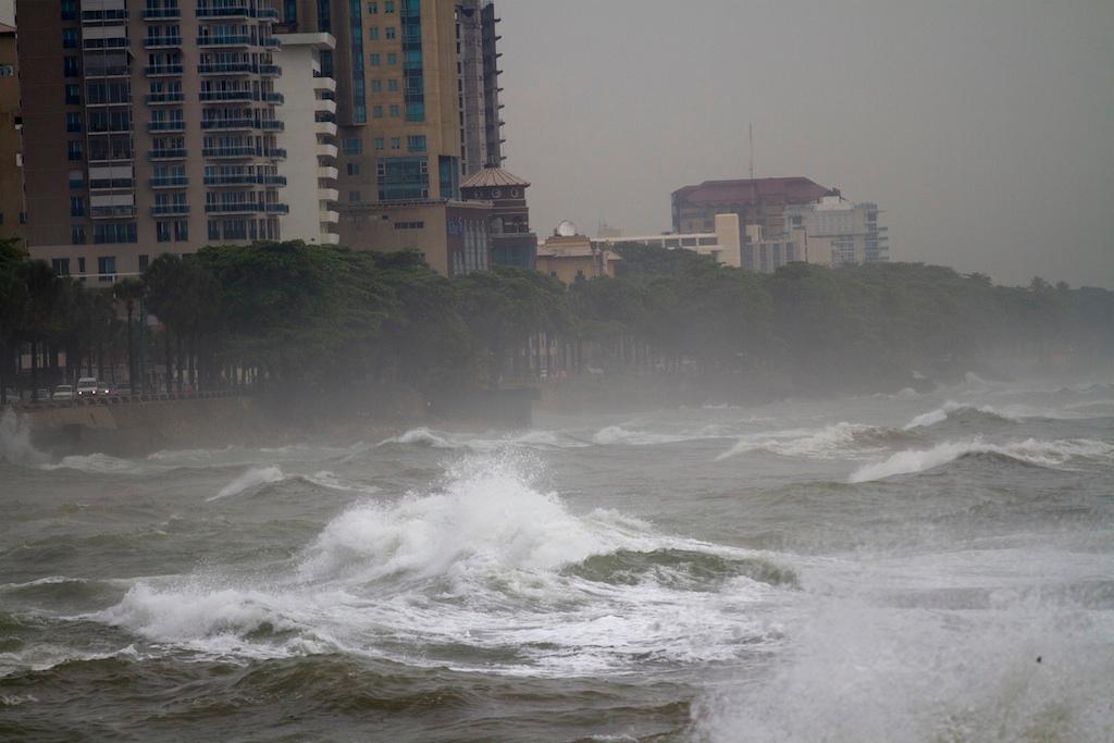
Big waves caused by hurricane Sandy along the south coast of Santo Domingo on October 24, 2012.
A severe storm system is expected to hit the Eastern coast of the United States next week, forecasters warned on Thursday, after Hurricane Sandy had already battered eastern Cuba, Jamaica the Dominican Republic and Haiti, claiming 4 lives along the way, according to the Associated Press.
As Sandy heads north, an "unusual merger" of weather systems may take place that could ramp up its intensity, according to the National Weather Service. Sandy is expected to collide with a high pressure system from Canada and and a strong jet stream coming from the Gulf of Alaska, the Post-Standard said.
“That jet stream is going to dive into the south and merge with this storm and actually pull it back to the west — a very unusual storm track. So we literally see a storm of probably tropical-storm intensity — winds anywhere from 50 to 60 mph, possibly a little bit stronger — off the tip of Long Island coming due west back into either northern Pennsylvania or Central New York on Tuesday, Tuesday night," National Weather Service meteorologist David Nicosia told the Post-Standard.
Sandy's anticipated intensity when it hits the US has already earned it some outlandish nicknames, including "Snowicane" and "Frankenstorm." In fact, the National Weather Service itself forecast a "frankenstorm" could hit the Northeast.
"It should settle back toward the interrior Northeast through Halloween, inviting perhaps a ghoulish nickname for the cyclone along the lines of "Frankenstorm," an allusion to Mary Shelley's gothic creature of synthesized elements," the service said on its website.
More from GlobalPost: Hurricane Sandy upgraded to category two
