Google maps the wind (VIDEO)
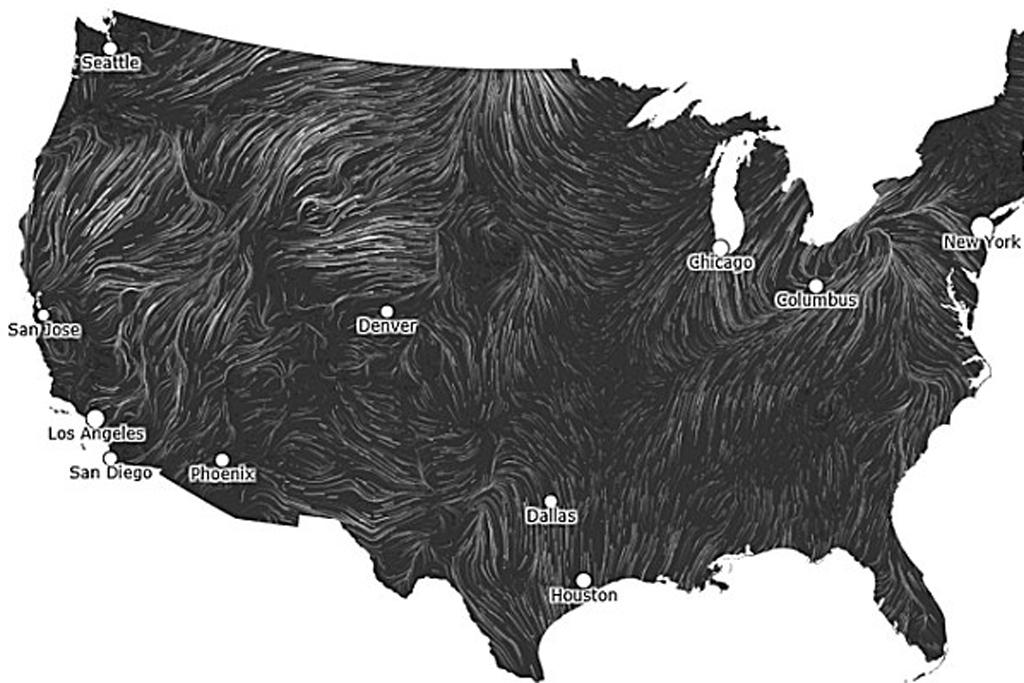
Wind map, which was developed by Google computer scientists, shows wind currents in a stunning real time visualization.
The wind map is updated hourly by the National Weather Service and shows the breathtakingly complex shape the wind takes while blowing around the continent.
The map shows the strength of the wind and the shapes of the current, reported the Washington Post.
Click here to see the live map.
"An invisible, ancient source of energy surrounds us – energy that powered the first explorations of the world, and that may be a key to the future," a text on the website reads.
"This map shows you the delicate tracery of wind flowing over the US right now."
The map works best on Google Chrome, the Guardian reported.
The breathtaking visualization was created by Fernanda B. Viégas and Martin Wattenberg, founders of Many Eyes and leaders of Google "Big Picture" visualization research group in Cambridge, Mass.