Public radio’s longest-running daily global news program.
©2026 The World from PRX
PRX is a 501(c)(3) organization recognized by the IRS: #263347402.

Geographical maps are pretty sweet. Nautical maps are rad. But transit maps? Well transit maps are the coolest maps because they help fight climate change.
A multi-colored map of London's subway system.
Transit maps fight climate change. Or at least, they might.
One guy certainly thinks so. His name is Mark Ovenden. He’s an expert in transit maps and the author of “Transit Maps of The World.” So he’s a *little* biased. But after looking at his book, you can’t help but agree.
It’s a design history book that’s brain candy. You keep flipping from page to page, looking at transit systems all across the globe.
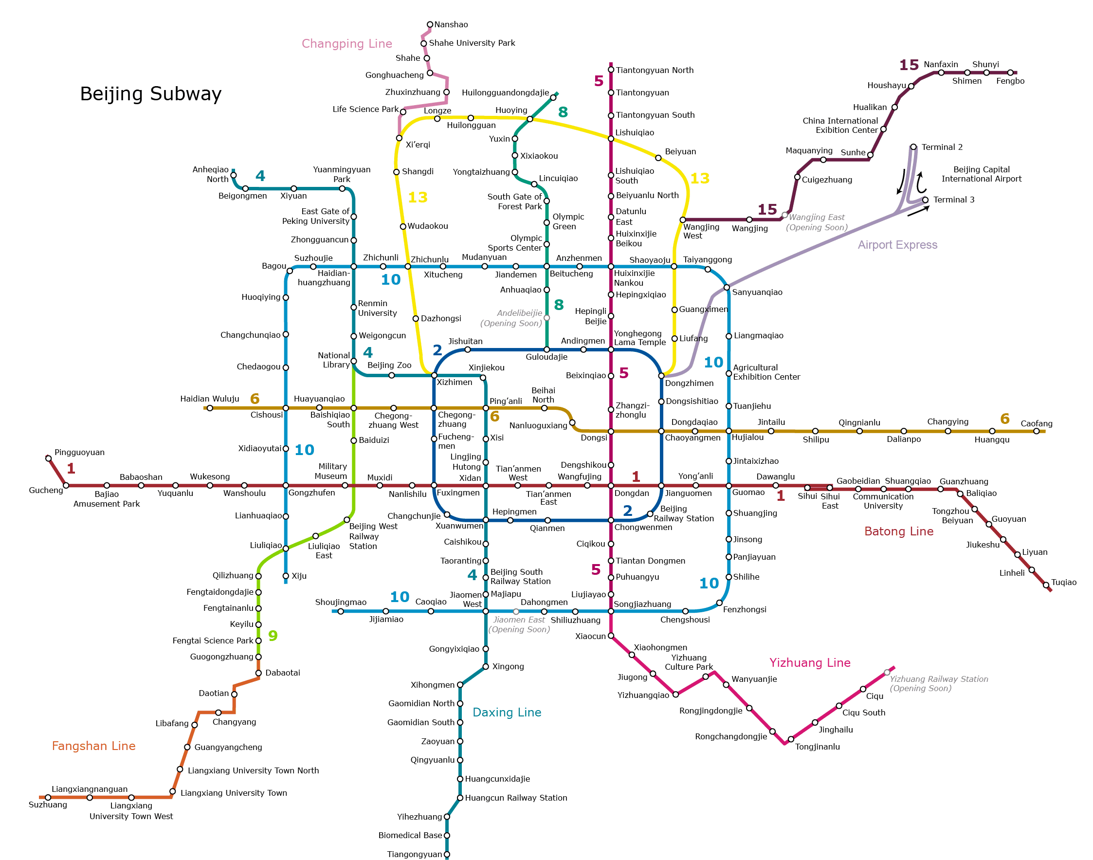
The colors are amazing.
There’s a uniform look. You can picture yourself traveling through the cities, or getting lost in Tokyo.
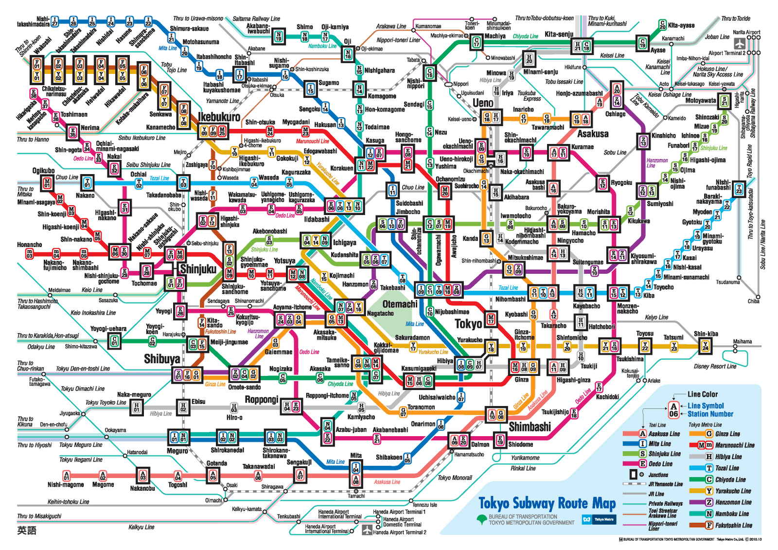
These iconic displays of information have evolved in the last decade, and they show an important change.
“Since we put the original book together more than a decade ago, there are so many more metro, light rail, streetcar, subway systems around the world,” says Ovenden.
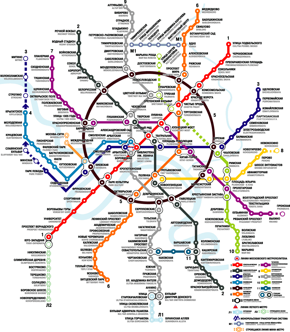
And all of this gets to the bold statement: transit maps fight climate change. Ovenden argues it this way. “Obviously, anyone using public transport and not using their car is contributing to less pollution and helping save the planet,” he says. “Good transit map design gets people to use a system, to recognize that it’s a great system and it’s easy to use.”