Public radio’s longest-running daily global news program.
©2026 The World from PRX
PRX is a 501(c)(3) organization recognized by the IRS: #263347402.
Hurricane Bud is the first eastern Pacific hurricane of the 2012 season and is expected to begin affecting Mexico’s coastal regions later today.
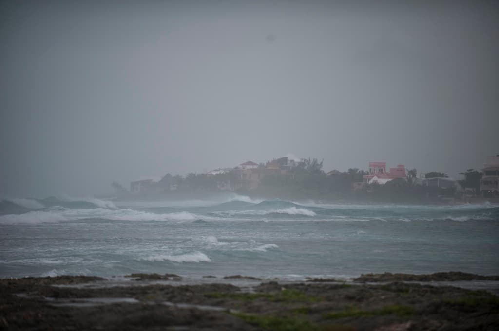
Picture of Akumal bay taken as tropical storm Rina reaches the Mexican coast in Quintana Roo State on October 27, 2011.
Mexicans are bracing themselves for the first eastern Pacific hurricane of the 2012 season, Hurricane Bud.
Hurricane Bud has developed into a Category 2 storm and is packing winds of up to 105 miles (169 kilometers) per hour, according to an advisory published by the Miami-based National Hurricane Center (NHC).
The storm is centered about 250 miles (405 kilometers) southwest of Manzanillo, Mexico.
“Swells generated by Bud will begin affecting portions of the southern and southwestern coasts of Mexico later today,” the NHC said earlier today.
“These swells are likely to cause life-threatening surf and rip current conditions.”
Rainfall of as much as 10 inches in the states of Michoacan, Colima, Jalisco and southern Nayarit could trigger “life-threatening flash floods and mudslides”, Bloomberg reported, citing the advisory.
According to the Associated Press, a tropical storm warning and hurricane watch have been issued for areas between Punto Telmo and Cabo Corrientes as Bud barrels towards Mexico’s Pacific coast.
"We are on alert, we are preparing some 120 shelters in the coastal towns," the head of civilian protection for Colima state, Melchor Urusua, told Agence France-Presse.
The storm is expected to begin weakening by Friday, the NHC said.
The US National Oceanic and Atmospheric Administration, meanwhile, forecast “near-normal” hurricane seasons in the eastern Pacific and the Atlantic.
More from GlobalPost: 2012 Atlantic hurricane season to be near normal, NOAA says